Bertizarana

 Back
Back 

Route data
Narbarte
Narbarte

Distance
6.9 Km
Circular route

Difficulty
Very easy

Max. elevation
130 m.

Max. elevation
110 m.
Weather forecast
Legasa
 20°C
20°CReal feel 20°
scattered clouds
-
Tue
22/09
24° /17°
 43%
43%
-
Wed
23/09
25° /16°
44%
-
Thu
24/0932° /21°
33%
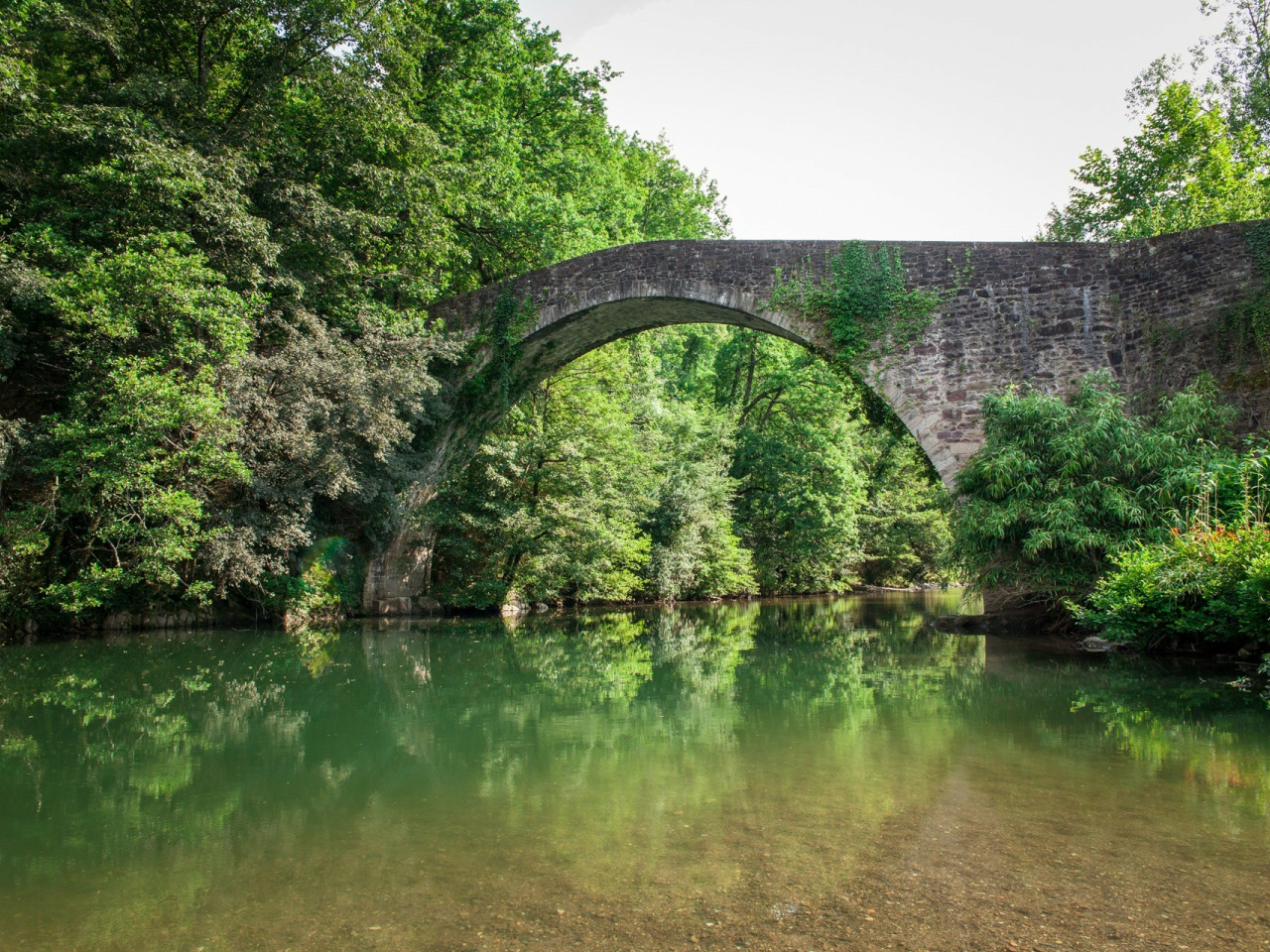
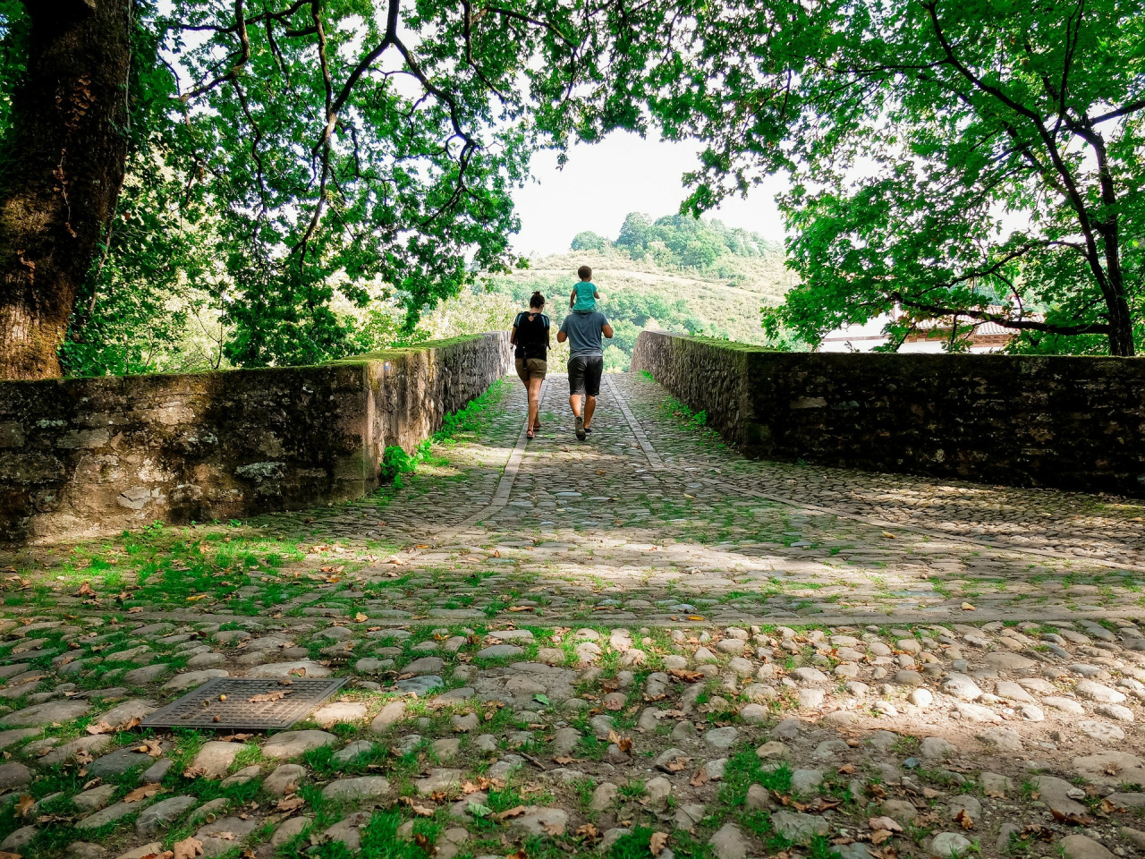
Houses bearing lamia figures on their coats of arms and access to the Señorío de Bertiz Natural Park from the Erreparazea bridge.
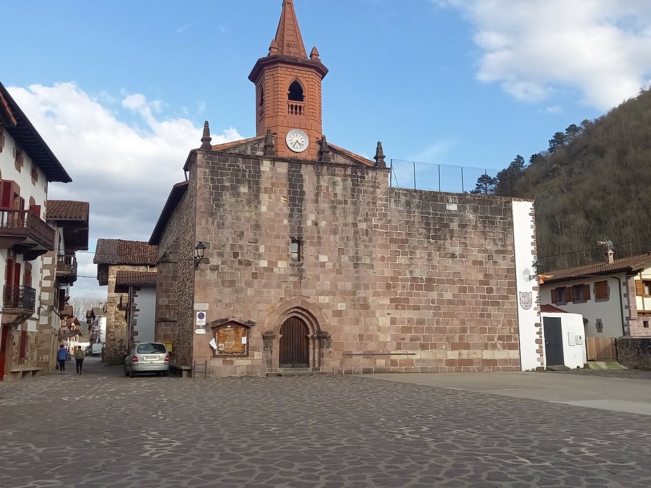
A trail through Narbarte, Legasa and Oieregi in the Bertizarana Valley. The highlights are the houses with lamia figures on their coats of arms and access to the Señorío de Bertiz Natural Park from the Erreparazea bridge.
Weather forecast
Legasa
20°CReal feel 20°C
scattered clouds
-
Tue
22/0924° /17°
43%
-
Wed
23/0925° /16°
44%
-
Thu
24/0932° /21°
33%