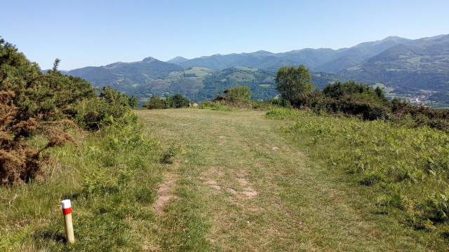
GR 11: Higer-Urkiaga
Scenic routes with a wide range of options, ideal for circular walks. Cross-border links and GPS technology enhance the experience.
The Navarre Federation of Mountain and Climbing Sports (FNDME) has designed the most suitable route for the Navarrese section of the GR® 11, taking into account the current state of the territory and incorporating new footpath sections to avoid tracks where possible.
The GR® 12 'Sendero de Euskal Herria' and the various cross-border and trans-Pyrenean links known as GR®T, which connect the GR® 10 and GR® 11 at over sixty points from west to east, were also taken into account.
The Navarrese territory covers routes GR®T 3 through GR®T 13.
This GR® route ends all its stages in inhabited places and aims to enable circular walks with both the GR® 12 and the GR®Ts.
The result is the Irati Trekking route, bounded to the north by the GR® 10 between Donibane-Garazi/Saint Jean de Pied de Port and Chalets d'Iraty, to the south by the GR® 11 between Auritz/Burguete and Otsagabia/Ochagavía, and from west to east by GR®T 7, 8, 9 and 10, offering great versatility across this remarkable landscape.
Also in Baztan-Bidasoa, the E.GR® 11–GR® 12 (Bidasoa Trekking) and the GR®T 5 (Kulunka Bidea) connect the French GR® 10 with the GR® 11 and GR® 12, forming a network of around 200 km with multiple start and finish options over one or several days.
Decades of volunteer effort have made this unique route possible. Distances were calculated using GPS and profiles refined with digital elevation models. Times follow the MIDE method, the official method of both FEDME and FNDME, and are intended as guidance for hikers with a day pack. Contact gr11@mendinavarra.com to report issues or join the volunteer group.
The GR® 12 'Sendero de Euskal Herria' and the various cross-border and trans-Pyrenean links known as GR®T, which connect the GR® 10 and GR® 11 at over sixty points from west to east, were also taken into account.
The Navarrese territory covers routes GR®T 3 through GR®T 13.
This GR® route ends all its stages in inhabited places and aims to enable circular walks with both the GR® 12 and the GR®Ts.
The result is the Irati Trekking route, bounded to the north by the GR® 10 between Donibane-Garazi/Saint Jean de Pied de Port and Chalets d'Iraty, to the south by the GR® 11 between Auritz/Burguete and Otsagabia/Ochagavía, and from west to east by GR®T 7, 8, 9 and 10, offering great versatility across this remarkable landscape.
Also in Baztan-Bidasoa, the E.GR® 11–GR® 12 (Bidasoa Trekking) and the GR®T 5 (Kulunka Bidea) connect the French GR® 10 with the GR® 11 and GR® 12, forming a network of around 200 km with multiple start and finish options over one or several days.
Decades of volunteer effort have made this unique route possible. Distances were calculated using GPS and profiles refined with digital elevation models. Times follow the MIDE method, the official method of both FEDME and FNDME, and are intended as guidance for hikers with a day pack. Contact gr11@mendinavarra.com to report issues or join the volunteer group.
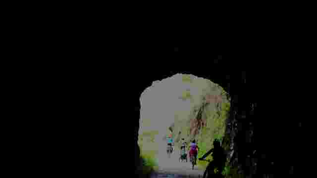
BIDASOA GREENWAY
An ideal route for walking or cycling through Atlantic forests and unique landscapes, covering 55 km of the old railway line.
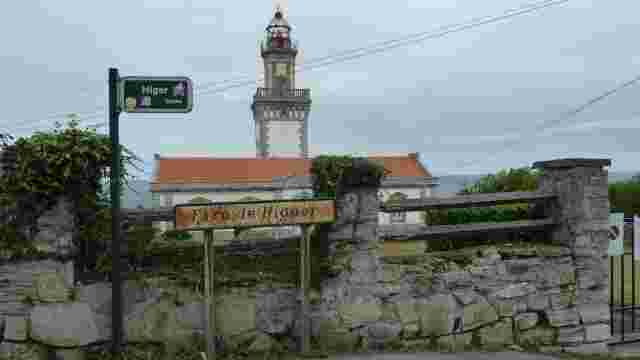
GR 11.3 Higer-Elizondo
A route featuring Atlantic scenery, forests and picturesque villages, ideal for exploring the natural and cultural diversity of the north.
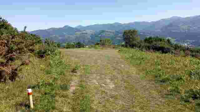
GR 11: Higer-Urkiaga
Scenic routes with a wide range of options, ideal for circular walks. Cross-border links and GPS technology enhance the experience.
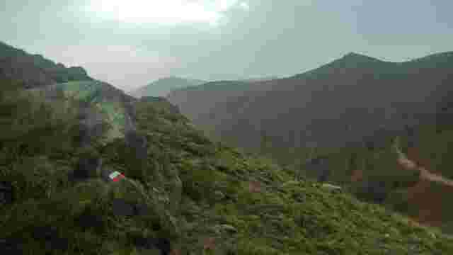
GR 10
A trail offering panoramic views of the Pyrenees, ideal for exploring forests, valleys and picturesque mountain villages.
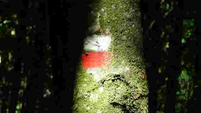
GRT 5: The Wobbly Way
A walking route linking villages, forests and hills, ideal for exploring the natural and cultural heritage along ancient paths.
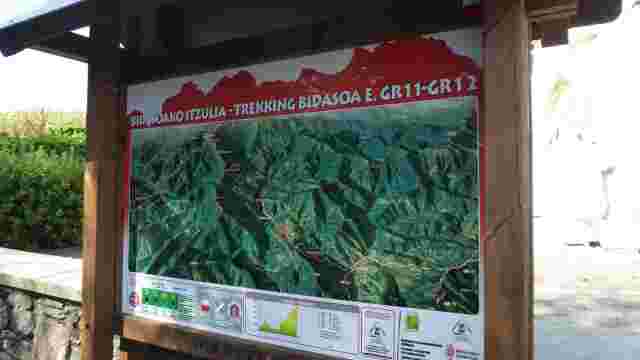
Bidasoa Trekking
This route links the GR 11 and GR 12 trails, with access points at Lesaka and Lakaingo Lepoa, passing through Atlantic forests and over hills, making it idea...

The Way of St James
A peaceful, historic trail, ideal for unwinding, featuring the remains of a Roman road and landscapes that evoke the days of medieval merchants and armies.
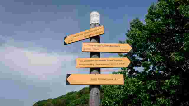
GRT 3 - BERA-IBARDIN
The link between the GR®11 and the GR®10: it climbs from Bera to Ibardin along footpaths, continuing on to Manttale in the Ventas de Ibardin area.
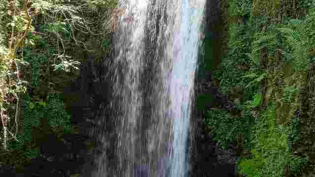
Black well
A waterfall in a ravine at the foot of the mountains, surrounded by farmhouses, woods with centuries-old chestnut trees and meadows, ideal for enjoying the r...
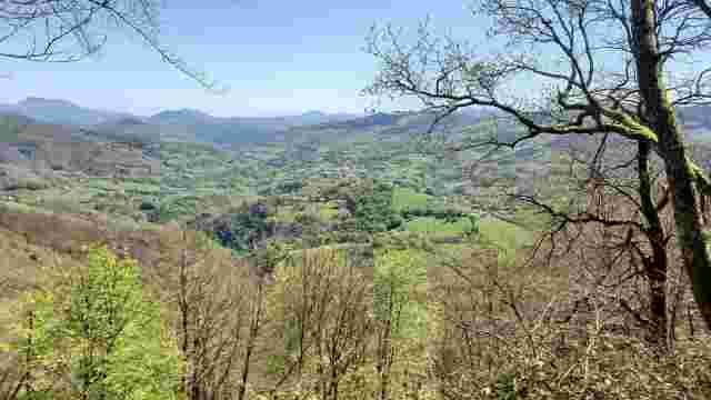
Izu-Artikutza
A landscape featuring farmhouses and cobbled paths, a protected beech forest and a picturesque ravine, ideal for hiking and enjoying nature.
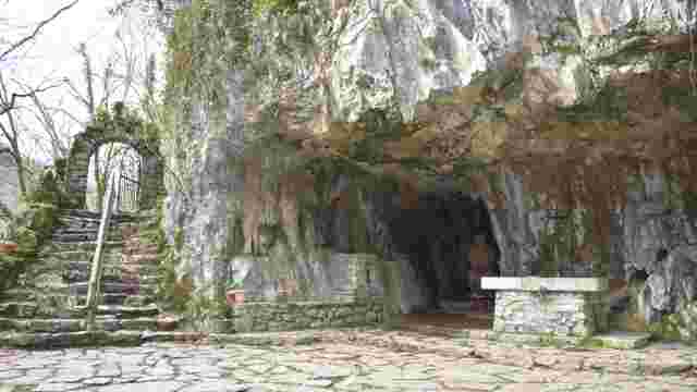
Saint John the Baptist
A nature reserve featuring a cave, a sculpture of a shepherd and a spring with healing waters, ideal for walking along paths and by the river.
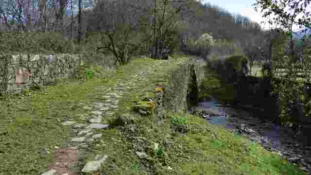
Ermita of Argarata-Santa Cruz
A circular “8”-shaped trail offering views of the village of Etxalar and a walk alongside the River Tximista, ideal for nature lovers.
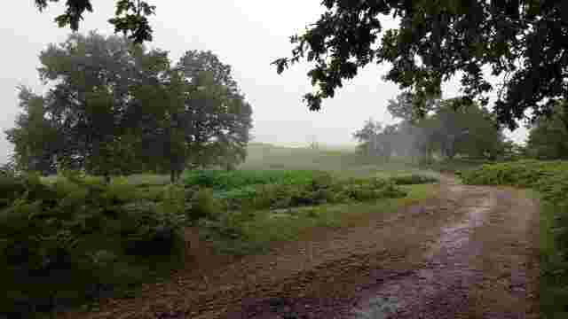
Usategieta-Etxalar
The path follows the ridge between Sara and Etxalar. In autumn, during the pigeon migration, nets are set up on the hilltops and slopes (a tradition dating b...
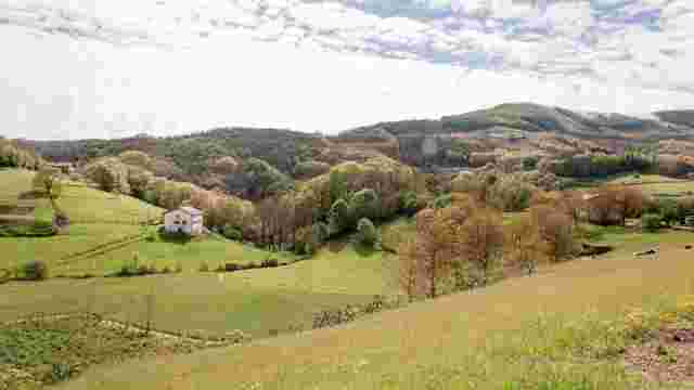
Saint John the Baptist
A mystical cave accessible via a picturesque path, ideal for exploring nature and enjoying a peaceful and magical setting.
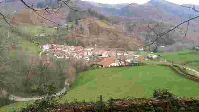
The Circle of Dreams
A footpath featuring a spring and washhouse, stone huts and a lime kiln; a wide, easy path that’s cool in summer, with views of Mount Mendaur.
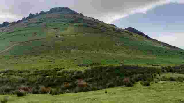
The Mountain of Witches
A pyramid, beech forests, a chapel steeped in pagan lore and the picturesque Camino del Agua offer a unique experience for visitors.
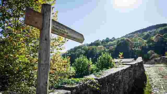
The Way of Water
An 8 km route along the River Ezkurra, ideal for strolling, gentle walking or cycling, linking charming villages.
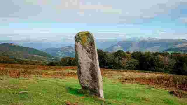
Read
Hills featuring megalithic heritage, a striking menhir, an 11.5 km circular route, and views of the Aralar Mountains and the coast of Donostia-San Sebastián.
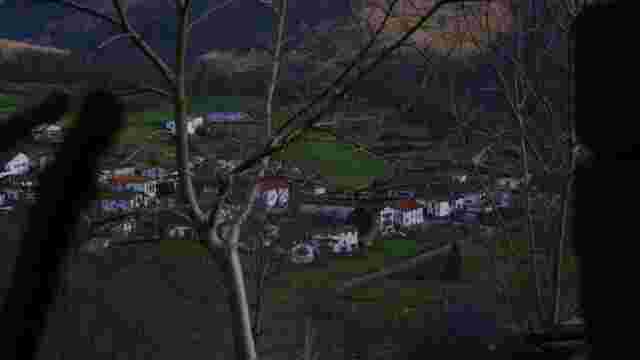
The way of the mushrooms
Mycological treasures, megalithic remains and traditional forest trades are the highlights of a trail lined with well-maintained traditional houses.
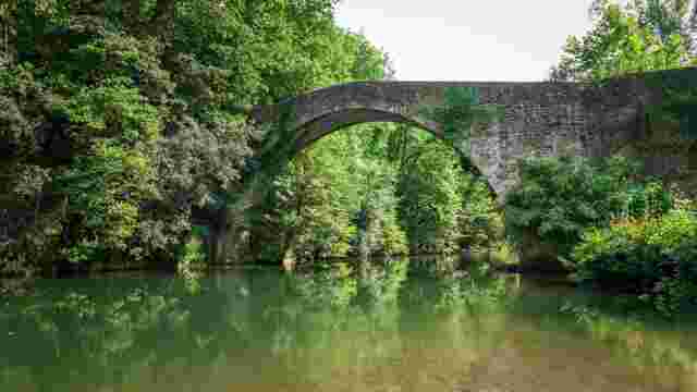
Bertizarana
Houses with gabled roofs and access to the Señorío de Bertiz Natural Park from the Erreparazea bridge.
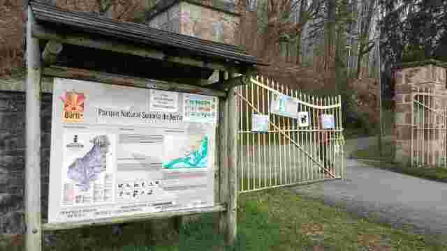
Irretarazu
A trail featuring historical remains: charcoal burning, sheep farming, chestnut stores and water collection systems – ideal for nature and history lovers.
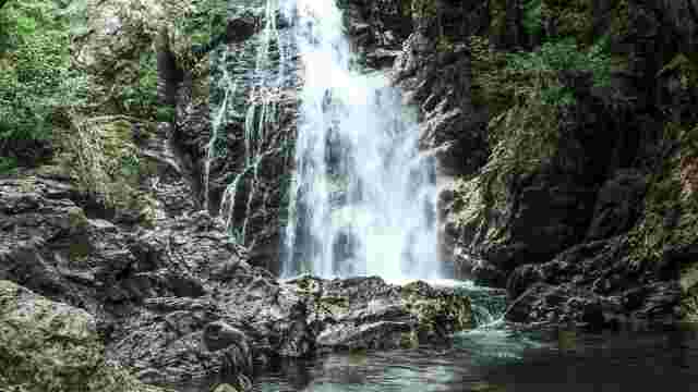
Xorroxin
A legendary waterfall surrounded by centuries-old oak, ash and chestnut trees, ideal for lovers of nature and mythology.
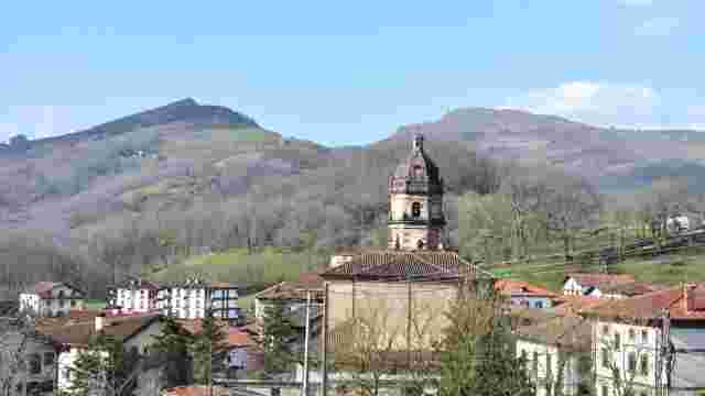
Irurita
A destination featuring squares, a church, a lime kiln, a smithy, tower houses, palaces and traditional farmhouses, ideal for exploring its historical and et...
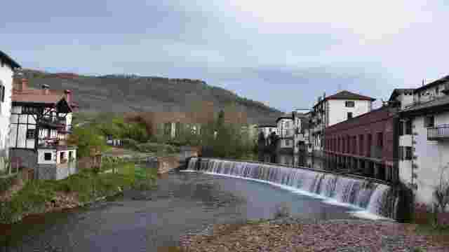
The churchyard
A route through Elizondo, Irurita and Gartzain. Highlights include the palaces and streets of Elizondo, the square in Irurita, and the farmhouses and rural s...
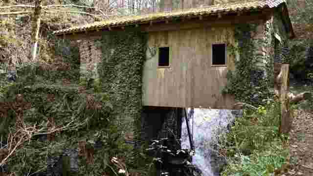
The Devil's Mill
A picturesque path winding through farmhouses and hamlets, ideal for walking, leading to a historic mill with rustic charm and views of the countryside.
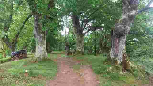
Footnote
A cool, secluded waterfall, ideal for cooling off and enjoying nature, although its flow is not constant.
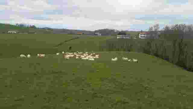
The Pottoka's Path
A route through caves, meadows, woods and hamlets, ideal for exploring karst landscapes and visiting picturesque villages.
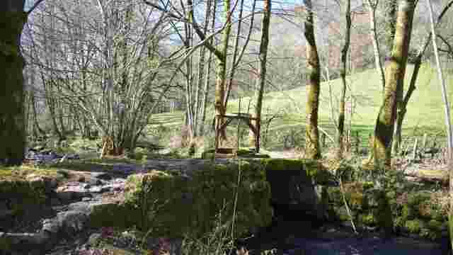
Ironworks Road
A picturesque walk along a river and up a hillside, featuring a historic 16th-century farmhouse. Ideal for nature and history lovers.
Quick tour
A circular route that climbs to the summit of Azkar, an ancient watchtower, from where you can enjoy sweeping, beautiful panoramic views.